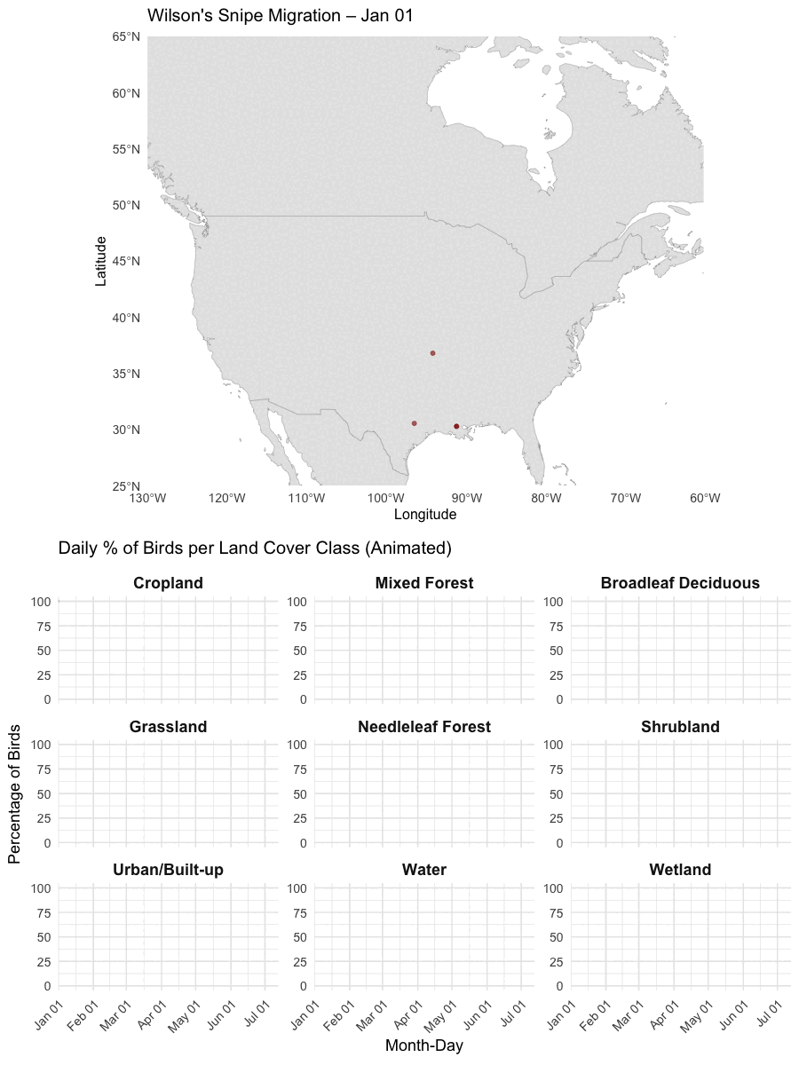
Please refer to the animations on the previous page for detailed migratory tracking, and previous static maps for home ranges. However, this animation works to show how land cover use by snipe changes from winter to summer. The top panel displays the birds' GPS tracks over time, while the bottom panel shows the daily proportion of tracked birds using different land cover classes. Land cover classes were taken from the North American Land Change Monitoring System 2020. A smoother version is currently being processed.
The animation was created using R (gganimate) and combined into a single GIF.